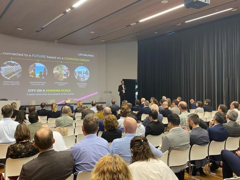
It includes new public spaces, parks, housing, and services to advance urban transformation and strengthen the connection with the city of Viña del Mar.
The sustainable neighborhood proposal aims for the comprehensive development of Las Salinas


The submission of the proposal to the Viña del Mar Municipal Works Department (DOM) and the Ministry of Transportation (SEIM) marks a new step in the development of Las Salinas, continuing the environmental restoration efforts and more than 10 years of dialogue with the community.
It defines the location of avenues, including the first section of the extension of Av. Libertad (approx. 350 meters), other roads, and Ladera Park. *DOM
In keeping with a neighborhood on a human scale, with buildings no taller than 12 stories. *DOM
Assess the impact on mobility and mitigation measures for the neighborhood as a whole. *SEIM.
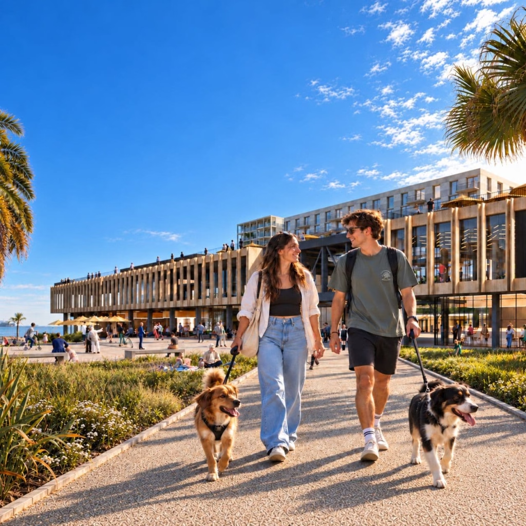
The entire project allocates more than 40% of its area to public spaces, including two urban parks facing the ocean, wide sidewalks, and pedestrian walkways. It also includes buildings up to 12 stories tall that will house residential units, retail spaces, services, and a waterfront convention center.

Homes: Available for sale and rent, with a focus on primary residences

Retail and Services
Street-level retail spaces that boost the economy and bring life to the neighborhood
OfficesSpaces designated for work activities

Hospitality: Aparthotels and Luxury Hotels

Public Spaces
Spaces for gathering and connecting with nature, open to the entire community
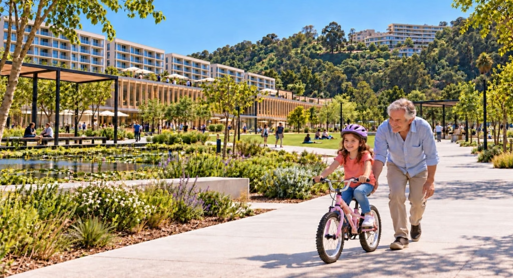
The project includes two urban parks along the waterfront: Ladera Park and Central Park, which will feature new green spaces and areas for the community to gather and enjoy recreational activities.
Ladera Park will take advantage of the site’s natural topography, incorporating native vegetation and spaces for exploring and enjoying the surroundings. For its part, Central Park, located in the heart of the new neighborhood, will be an open space for gathering and recreation, incorporating green areas and promoting pedestrian connectivity between the different sectors of Las Salinas.
Both parks will be private spaces open to the public, and Las Salinas will be responsible for their maintenance.
The landscape design of the green spaces draws on the knowledge gained at the Las Salinas Plant Laboratory, particularly regarding vegetation selection and landscape design.
The Las Salinas Master Plan calls for dedicating more than 40% of its total area to public spaces, including green spaces, gathering areas, wide sidewalks, and pedestrian connections that will allow residents to enjoy a new, open neighborhood that is fully integrated into Viña del Mar.

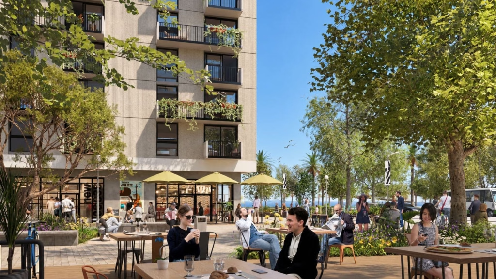
The combination of homes for sale and rent, offices, hotels, and retail spaces on the lower floors embodies the concept of an integrated city—an urban model where housing, work, and services are located close together, reducing the need for long commutes.
The urban development project calls for a new network of streets and connections to improve mobility in the area, facilitate travel, and connect the new neighborhood with the rest of Viña del Mar.
The proposal includes the extension of Libertad Avenue, new streets to better distribute traffic flow, and sidewalks up to 9 meters wide, which will provide more space for pedestrians.
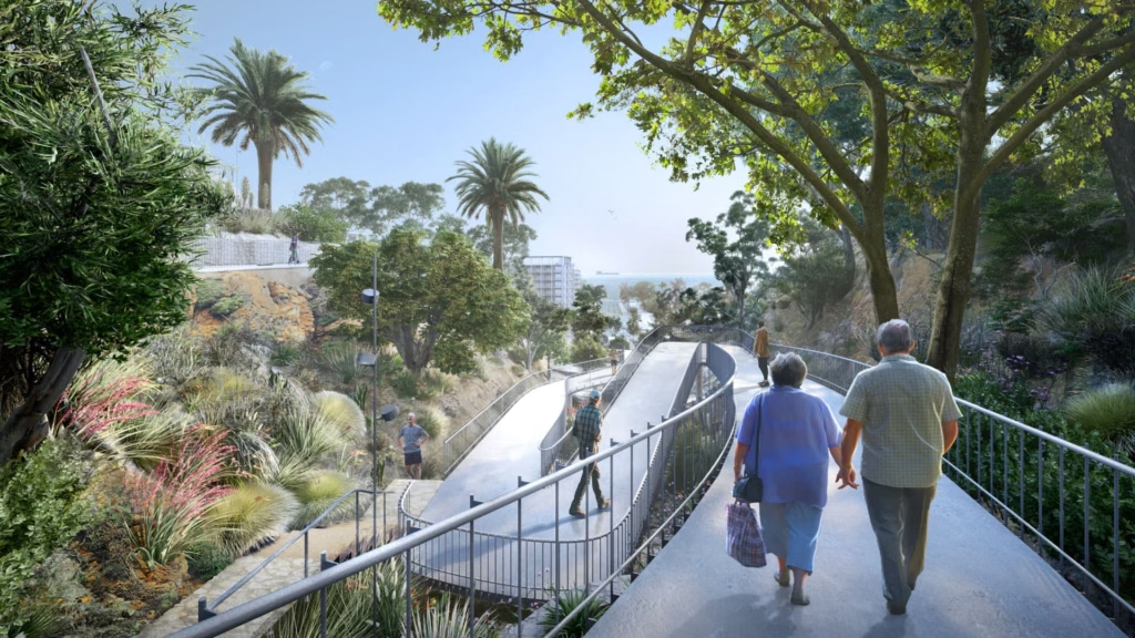
In addition, it incorporates new pedestrian connections between the hill and the sea, along with a footbridge over Av. Jorge Montt, which will make it easier to get around on foot and better integrate the city with its waterfront.

Las Salinas presented the improvement project for 19 Norte, an initiative that could be implemented in the near future and aims to revitalize a currently dilapidated area, transforming it into a pedestrian path with universal accessibility. The proposal will connect the upper part of the hillside with the beach, making it easier for people of all mobility levels to get around and creating a new public space for Viña del Mar.
The Las Salinas project calls for a phased approach to urban development and construction.
Homes Available for sale and rent, with a focus on primary residences.
Start of Phase 1
Development and construction of Phase 1, located in Paño Sur, have begun.
First Buildings Open for Business
The neighborhood’s first buildings are opening for business.
Neighborhood Development: Urbanization, traffic mitigation measures, and construction throughout the neighborhood.
in Full Operation The neighborhood is operating at full capacity.
Check out the most recent activities we have done as part of our work in Viña del Mar.
Stay informed about the activities we are carrying out in the territory and the participatory instances that we open for the community.
Las Salinas submitted five applications. Four were sent to the Viña del Mar Municipal Public Works Department, and one to the Ministry of Transportation through the Mobility Impact Assessment System. This marks the start of the process that will make it possible to begin building the sustainable neighborhood on the site.
No. Submission is one step in the process and does not mean that the project has been approved or that construction has begun. The application files are reviewed by the appropriate authorities, and that review results in comments and required adjustments before any permits are issued.
This is the folder that primarily defines the location of the avenues established by the Zoning Plan on the site plan. It includes the first section of Libertad Avenue, approximately 350 meters long, as well as other minor roads. The same process also defines one of the neighborhood’s main parks, Ladera Park.
It is the subdivision of a parcel of land in which a portion of the land is set aside for streets and other public spaces. In the Paño Sur area, it was submitted along with the building permit applications.
There are three building proposals, one for each block defined by the streets laid out in the Master Plan. Each follows the concept of a neighborhood on a human scale, with buildings no taller than 12 stories.
The Traffic Impact Mitigation Report assesses the project’s impact on mobility and the mitigation measures that must accompany it. Las Salinas chose to evaluate the project for all the blocks collectively, rather than separately, as this allows for a broader assessment of the project’s area of influence.
The site covers 16 hectares of waterfront property. The proposal includes housing, offices, hotels, retail and services, parks and public spaces, a convention center, and accessibility for all. More than 40% of the area is designated for public spaces, including two urban parks facing the ocean, walkways, and observation decks. There are also bike lanes, sidewalks, and pedestrian connections linking the area to the rest of the city and the waterfront.
A maximum of 12 stories.
The applications submitted cover 2,000 housing units, both for sale and for rent, with a focus on primary residences.
The neighborhood projects direct investment of US$1 billion through 2038, based on a partnership model between Las Salinas and strategic partners. According to a study by the UC City Observatory, the total economic impact for Viña del Mar and the region exceeds US$3 billion, taking into account the neighborhood’s own economic activity, purchases from regional suppliers, and spending by households receiving those wages.
The same study by the UC City Observatory estimates that more than 7,500 jobs will be created for the city and the region. Of these, more than 2,600 are permanent jobs within the neighborhood itself, which will remain once the project is up and running.
Development and construction in the Paño Sur area are set to begin in 2028. The first buildings in the neighborhood are expected to be operational by mid-2030.
The South Section accounts for about 57% of the project’s usable area; it includes Ladera Sur Park, and construction there is scheduled to begin in 2028. The North Section includes a park and the Convention Center, and development and construction there are scheduled to begin in the second half of 2029.
Ladera Sur Park will remain private property open to the public, and Las Salinas will be responsible for its maintenance. Since it is located in the Paño Sur area, it could be one of the first new spaces opened to the community.
This is a volunteer-led project, in the works since September 2026, designed as a contribution to the community. It consists of a pedestrian walkway along the 19 Norte uphill stretch that connects Santa Inés almost to the waterfront, featuring universally accessible walkways and lookouts, as well as new lighting. If the municipality responds favorably, some of the benefits for the neighborhood would reach the city sooner.
Initial engagement with the community began in 2014. In 2023, the project was publicly presented to Viña del Mar, and since then it has continued to incorporate the concerns raised by residents and organizations, guided by the same principles: local identity, sustainable urban development, and planned density.
Bioremediation of the Paño Sur is more than 50% complete and is being led by Las Salinas. The process and its results can be viewed on the Bioremediation page .
If you have questions about urban development, you can write to us on the Participate page.
If you have any questions about the project, you can contact us through Participa.